

Home > Services > Underground Utility Surveys
Underground Utility Surveys
PAS 128 compliant utility surveys for developers, contractors and engineers across Bristol, Cardiff and the wider South West and South Wales region.
Underground Utility Surveys That Reduce Risk on Site
Before any excavation or drilling work takes place, knowing what lies beneath the surface is essential. Striking an undetected utility line can cause serious delays, significant costs, and in some cases danger to people on site. GeoShape Surveys provides accurate underground utility surveys that give you a clear picture of the subsurface infrastructure before work begins.
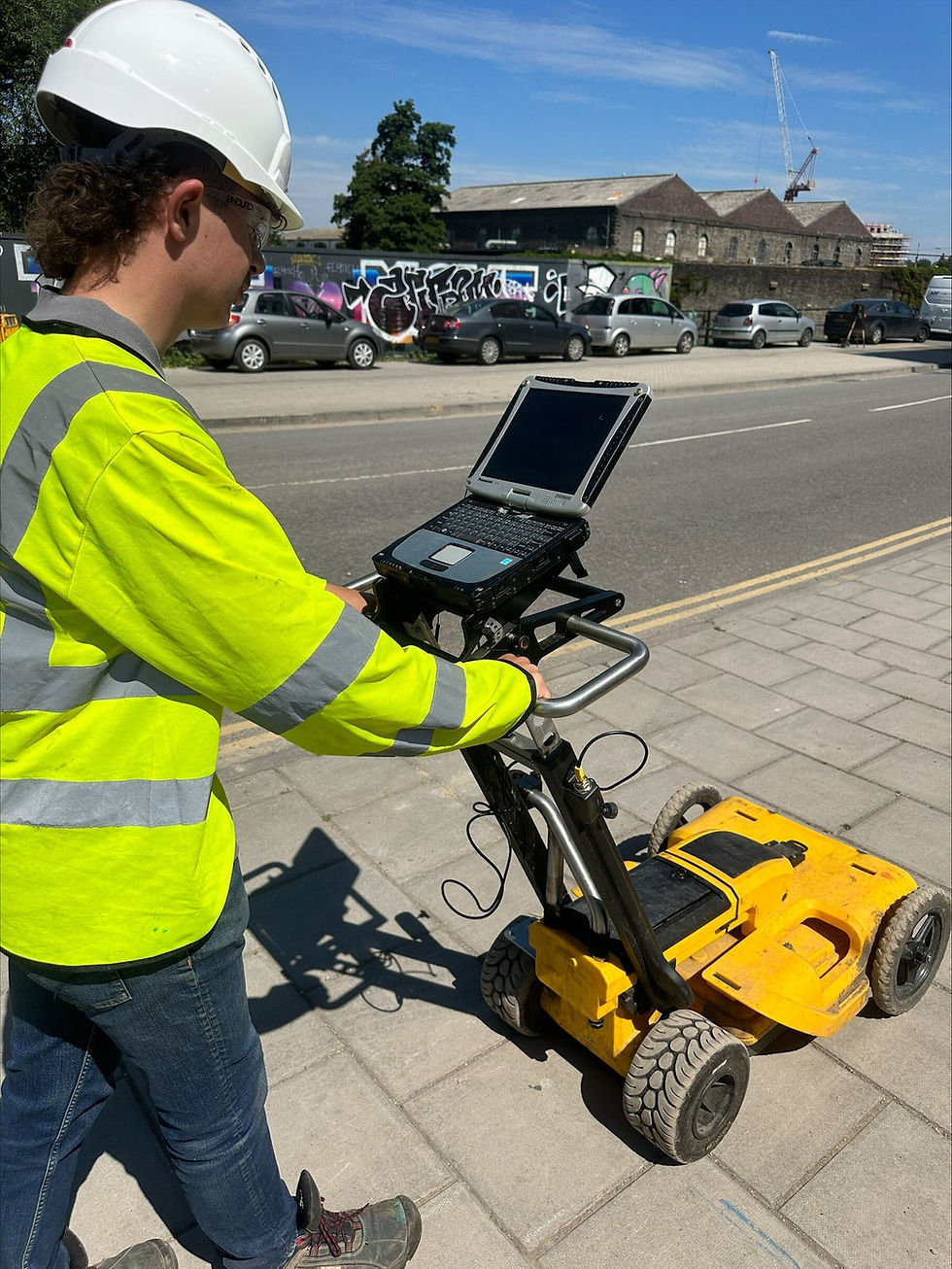
Our surveyors use industry-standard electromagnetic detection equipment alongside advanced ground penetrating radar (GPR) technology to locate and identify buried assets including water pipes, gas lines, electrical conduits, telecommunications cables, sewer pipes and drainage infrastructure. With over 25 years of experience, formerly trading as CSW Surveys, we have the knowledge and equipment to achieve reliable results even in complex ground conditions.
Survey findings are delivered in CAD format and can be overlaid directly onto a topographical drawing. We can also include pipe sizes, directional flow and material types within the CAD output, giving your project team everything they need to plan and proceed with confidence.
PAS128 Utility Surveys
At GeoShape Surveys we ensure to use current PAS128:2022 specification when completing all our utility surveys, to give you an understanding of the best method for your project is detailed below.
Quality Levels (QL) Explained
Quality Level D (QL-D): - A desk-based study collecting existing paper and digital records from asset and utility owners.
Quality Level C (QL-C): A site walkover and visual inspection to check surface markers, manholes, and covers against desktop records.
Quality Level B (QL-B): On-site geophysical detection using electromagnetic locators (EML) and ground-penetrating radar (GPR) to map positions and depths.
Quality Level A (QL-A): Physical verification and exposure of utilities via trial pits or vacuum excavation for exact horizontal and vertical coordinates.
Our experts at GeoShape surveys will provide guidance and support to help you get the best results for your project.
Depending on your site location and environment there are methods and solutions available to meet projects requirements.

— WHY CHOOSE GEOSHAPE
Underground Utility Surveys Across the South West
We carry out underground utility surveys across Bristol, Cardiff, Bath, Newport, Swindon, Cheltenham, Gloucester, Taunton and the wider South West and Wales region. Our team is based in Bedminster, Bristol and Crickhowell, Wales, giving us strong coverage on both sides of the Severn.
We work with developers, main contractors, civil engineers, architects and local authorities on projects of all sizes, from single site investigations to large-scale infrastructure surveys.
Get in touch to discuss your project or request a quote.

Frequently Asked Questions
Underground utility locating requires the use of a few different methods to accurately mark buried lines. An electromagnetic locator (EML), or pipe and cable locator, is used for tracing utility lines and metallic pipes. GPR is also used to identify other objects that could be present within the ground - we are trusted experts so please contact us today for a quote.
Underground utility locating requires the use of a few different methods to accurately mark buried lines. An electromagnetic locator (EML), or pipe and cable locator, is used for tracing utility lines and metallic pipes. GPR is also used to identify other objects that could be present within the ground - we are trusted experts so please contact us today for a quote.
Underground utility locating requires the use of a few different methods to accurately mark buried lines. An electromagnetic locator (EML), or pipe and cable locator, is used for tracing utility lines and metallic pipes. GPR is also used to identify other objects that could be present within the ground - we are trusted experts so please contact us today for a quote.
Survey findings are delivered in CAD format, which can be overlaid onto a topographical drawing. We can include pipe sizes, directional flow and material types where this information is available. Results can also be marked on the ground if required for immediate site use.
We cover Bristol, Cardiff, Bath, Newport, Swansea and the wider South West and South Wales region. Contact us to confirm coverage for your specific location.


